Public Lands Institute
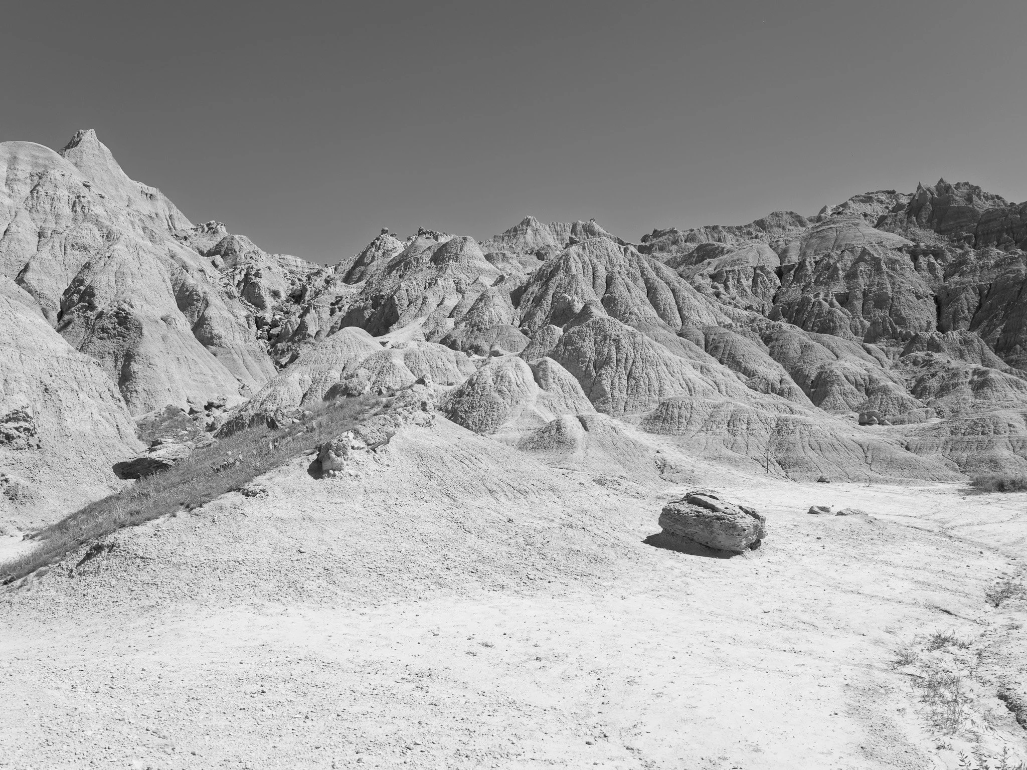
Public Lands Institute (PLI) is a research-based documentary and advocacy project: an ongoing, open-access photographic index of American public lands. The archive currently documents 72 sites across 20 states and 32 managing agencies, spanning roughly 8.7 million acres, from national parks and wildlife refuges to state forests, county parks, and former industrial and military sites now under public management. Every photograph enters the public domain on release: all images are licensed CC0 and distributed through Wikimedia Commons, where over 600 are already live and illustrate Wikipedia articles on public lands, Indigenous land cessions, and environmental remediation, free to any person, publication, or institution without cost or permission.
Each site entry pairs a photograph against a structured research record built from primary sources: EPA Superfund and cleanup databases, National Park Service administrative histories, National Archives CCC records, Library of Congress newspaper archives, federal and state court records, Royce cession maps, treaty texts, native-land.ca territory data, and iNaturalist research-grade observations. The record documents what the landscape does not disclose on its own: the Indigenous territories and treaty cessions behind a site's public ownership, the later dispossession of non-Native landowners and communities through eminent domain and condemnation, the extraction or contamination that preceded or continues alongside a site's management, and the remediation, or its absence, that followed.
These records do not describe a settled past. In July 2026, a presidential proclamation cut Bears Ears National Monument by more than 90 percent, reopening ancestral and archaeological land to mining and drilling. PLI's own archive shows the same instability closer to home: at Silver Lake State Park in Michigan, dunes once mined for industrial sand are now migrating fast enough to bury homes, with at least one resident moving 15,000 to 33,000 cubic yards of sand a year just to keep his property clear; unexploded ordnance still rated "medium risk" by a 2023 federal assessment persists across the former Badlands Bombing Range decades after the Army departed; and access to Bighorn National Forest's Medicine Wheel remains contested nearly thirty years after a formal preservation agreement with sixteen tribal nations. The sharpest case is Black Hills National Forest: the Supreme Court ruled in 1980 that the 1877 seizure of the Black Hills was an unconstitutional taking, in direct violation of the 1868 Fort Laramie Treaty, and ordered compensation, originally $105 million. The Sioux have refused the settlement, an award now estimated at more than $1 billion, holding out for the return of the land itself.
Please visit http://www.publiclandsinstitute.net for additional sites and images.
Support
Thank you for your consideration in supporting the Public Lands project. As a 501(c)(3) organization, CENTER serves the fiscal sponsor for the project. Contributions are tax-deductible. Please check with your tax advisor. You can support the project in one of the following ways:
1. Send a check to CENTER, PO Box 8372, Santa Fe, NM 87504. Please indicate the Public Lands Institute in the note.
2. Distributing funds through Fidelity Charitable Grants. Our EIN is 85-0428041.
3. Pay online through Zelle - programs@visitcenter.org
4. Pay online through PayPal - click here.
If you would like to donate securities or through other methods, please contact Executive Director, Laura Wzorek at laura@visitcenter.org.
Thank you!